474 Maps
Beginner Classroom Series Political Roller Maps
Ideal for PreK-1, the Beginner Series Maps feature bright colors and
easy-to-identify land masses and major bodies of water. The U.S. map
shows state names and capitals; the World edition identifies only
continents and oceans. Mounted on spring rollers with backboard.
Size: 64" x 54".
WORLD 64" x 54"
Identifies continents and oceans.
27763. Each ................................................................................... $525.85
UNITED STATES AND WORLD SET
2 maps mounted on a single roller and backboard.
27723. Each ................................................................................... $696.85
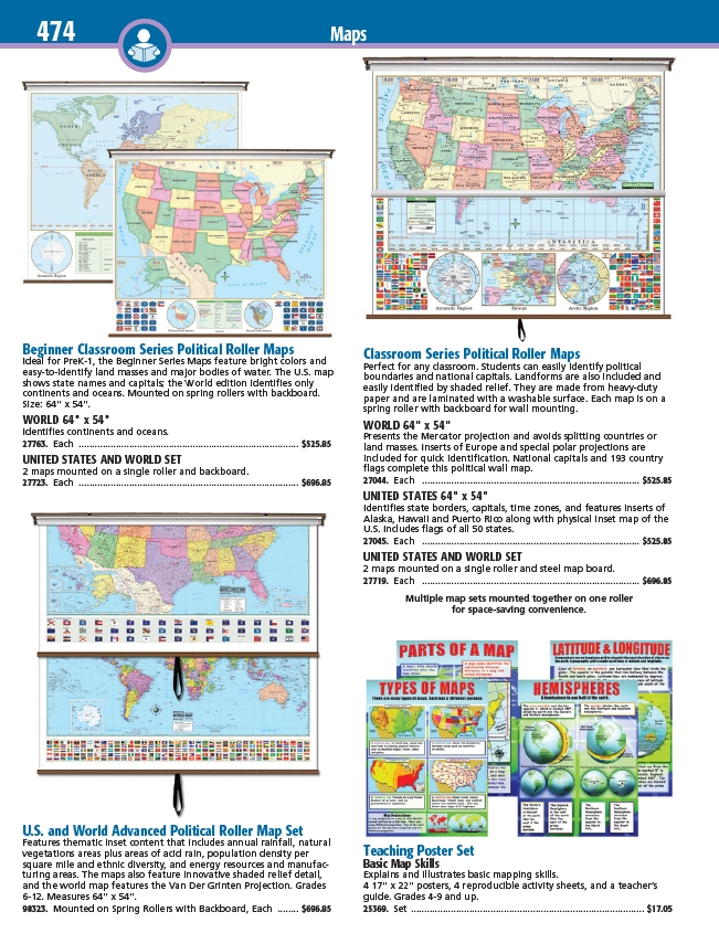
Classroom Series Political Roller Maps
Perfect for any classroom. Students can easily identify political
boundaries and national capitals. Landforms are also included and
easily identified by shaded relief. They are made from heavy-duty
paper and are laminated with a washable surface. Each map is on a
spring roller with backboard for wall mounting.
WORLD 64" x 54"
Presents the Mercator projection and avoids splitting countries or
land masses. Inserts of Europe and special polar projections are
included for quick identification. National capitals and 193 country
flags complete this political wall map.
27044. Each .................................................................................. $525.85
UNITED STATES 64" x 54"
Identifies state borders, capitals, time zones, and features inserts of
Alaska, Hawaii and Puerto Rico along with physical inset map of the
U.S. Includes flags of all 50 states.
27045. Each .................................................................................. $525.85
UNITED STATES AND WORLD SET
2 maps mounted on a single roller and steel map board.
27719. Each .................................................................................. $696.85
Multiple map sets mounted together on one roller
for space-saving convenience.
U.S. and World Advanced Political Roller Map Set
Features thematic inset content that includes annual rainfall, natural
vegetations areas plus areas of acid rain, population density per
square mile and ethnic diversity, and energy resources and manufacturing
areas. The maps also feature innovative shaded relief detail,
and the world map features the Van Der Grinten Projection. Grades
6-12. Measures 64" x 54".
98323. Mounted on Spring Rollers with Backboard, Each ........ $696.85
Teaching Poster Set
Basic Map Skills
Explains and illustrates basic mapping skills.
4 17" x 22" posters, 4 reproducible activity sheets, and a teacher’s
guide. Grades 4-9 and up.
25369. Set ........................................................................................ $17.05
/viewitem?mdsecode=27763
/viewitem?mdsecode=27723
/viewitem?mdsecode=27044
/viewitem?mdsecode=27045
/viewitem?mdsecode=27719
/viewitem?mdsecode=98323
/viewitem?mdsecode=25369