Maps 475
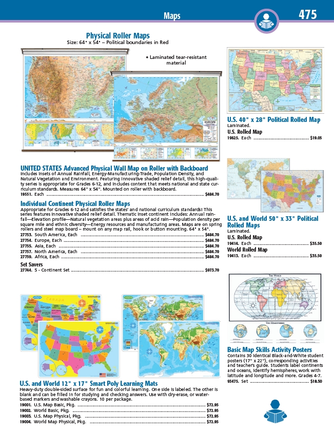
Physical Roller Maps
Size: 64" x 54" – Political boundaries in Red
• Laminated tear-resistant
material
UNITED STATES Advanced Physical Wall Map on Roller with Backboard
Includes insets of Annual Rainfall, Energy-Manufacturing-Trade, Population Density, and
Natural Vegetation and Environment. Featuring innovative shaded relief detail, this high-quality
series is appropriate for Grades 6-12, and includes content that meets national and state curriculum
standards. Measures 64" x 54". Mounted on roller with backboard.
19551. Each ................................................................................................................................ $484.70
Individual Continent Physical Roller Maps
Appropriate for Grades 6-12 and satisfies the states’ and national curriculum standards! This
series features innovative shaded relief detail. Thematic inset continent includes: Annual rainfall—
Elevation profile—Natural vegetation areas plus areas of acid rain—Population density per
square mile and ethnic diversity—Energy resources and manufacturing areas. Maps are on spring
rollers and steel map board – mount on any map rail, hook or button mounting. 64" x 54".
27753. South America, Each .................................................................................................... $484.70
27754. Europe, Each .................................................................................................................. $484.70
27755. Asia, Each ...................................................................................................................... $484.70
27757. North America, Each .................................................................................................... $484.70
27759. Africa, Each .................................................................................................................... $484.70
Set Savers
27744. 5 - Continent Set ............................................................................................................ $973.70
U.S. and World 12" x 17" Smart Poly Learning Mats
Heavy-duty double-sided surface for fun and colorful learning. One side is labeled. The other is
blank and can be filled in for studying and checking answers. Use with dry-erase, or waterbased
markers and washable crayons. 10 per package.
19001. U.S. Map Basic, Pkg. ........................................................................................................ $72.95
19002. World Basic, Pkg. ............................................................................................................ $72.95
19003. U.S. Map Physical, Pkg. .................................................................................................. $72.95
19004. World Map Physical, Pkg. .............................................................................................. $72.95
U.S. 40" x 28" Political Rolled Map
Laminated.
U.S. Rolled Map
19625. Each ............................................. $19.05
U.S. and World 50" x 33" Political
Rolled Maps
Laminated.
U.S. Rolled Map
19414. Each ............................................. $35.50
World Rolled Map
19413. Each ............................................. $35.50
Basic Map Skills Activity Posters
Contains 30 identical Black-and-White student
posters (17" x 22"), corresponding activities
and teacher’s guide. Students label continents
and oceans, identify hemispheres, work with
latitude and longitude and more. Grades 4-7.
93475. Set ................................................ $18.50
/viewitem?mdsecode=27753
/viewitem?mdsecode=27754
/viewitem?mdsecode=27755
/viewitem?mdsecode=27757
/viewitem?mdsecode=27759
/viewitem?mdsecode=27744
/viewitem?mdsecode=19551
/viewitem?mdsecode=19001
/viewitem?mdsecode=19002
/viewitem?mdsecode=19003
/viewitem?mdsecode=19004
/viewitem?mdsecode=19414
/viewitem?mdsecode=19413
/viewitem?mdsecode=19625
/viewitem?mdsecode=93475